Topcon Positioning Systems has expanded its road construction technology with new workflow solutions for scanning, paving and compaction.
The additions to the Topcon road construction range start with a new version of the mobile LiDAR scanner, the RD-M2. The scanner is part of the longstanding SmoothRide solution, which is designed to minimise road closures, shorten planning times and optimise processes when evaluating road surfaces while keeping crews safe.
The scanner uses an integrated GNSS receiver, and the new version includes the ability to track more satellite constellations for added accuracy and options on site.
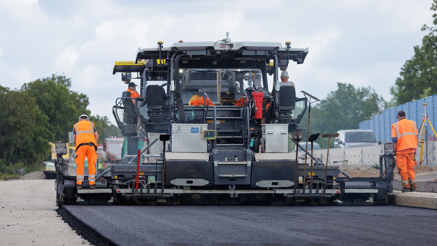
The new MC-Max Paving aftermarket solution controls screed height, width and steering for integrated pavers. The system was previously compatible with OEM CAN-based systems and has been expanded to a brand-generic aftermarket solution to control screed height on all major asphalt paver brands.
The solution is built on the MC-X machine control platform, an architecture that provides “highly customised systems and upgradeability paths to grow with a contractor’s needs”, according to Topcon.
Soil and asphalt compaction
And finally, a new solution for soil and asphalt compaction has been developed. Topcon’s roller management system is designed to ensure “consistent, high-quality pavement and base layers by using real-time data and automation to optimise the compaction process, reduce rework, and meet project specifications efficiently”. It is equipped with a wireless Android display, and positioning sensors can be interchanged between GPS and robotic total station-based systems.
Additional options and sensors can be added depending on the customer requirements, such as temperature sensors and accelerometers.
Murray Lodge, executive vice-president of Topcon Positioning Systems, said: “Contractors face ever-decreasing margins, tighter specifications, and an increasing focus on meeting sustainability targets, while municipalities face ever-growing infrastructure development and maintenance challenges. The industry needs innovative approaches to resurface roads efficiently with long-lasting results, and these latest solutions are a step forward.”
Don’t miss out on BIM, information management and digital construction news: sign up to receive the BIMplus newsletter.