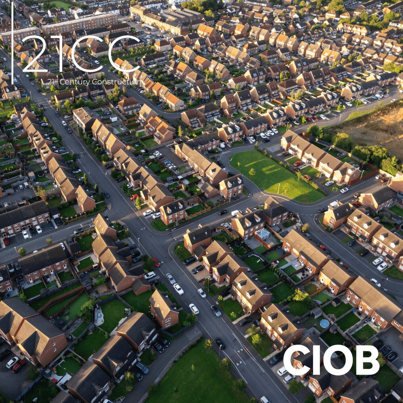
The University of Bradford is expanding the city’s digital twin with the aid of a vehicle-mounted mobile mapping system that can capture two million data points every second to a resolution of 1mm.
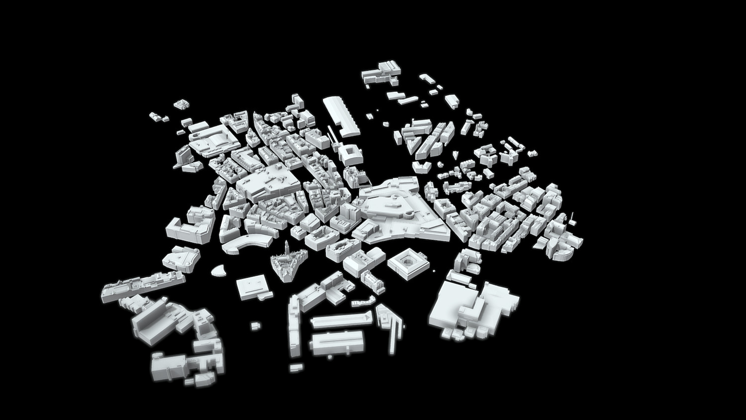
The University of Bradford is using the Leica TRK700 Evo vehicle-mounted mapping system – a first in the UK – to expand Virtual Bradford, the city’s digital twin. Initially the twin covered 1.5 square miles of the historic city centre and has been expanded to cover the Saltaire World Heritage site.
Shane Gwilt, mobile mapping and utility detection manager for Leica Geosystems in the UK, said: “The TRK700 Evo system [has] a combination of sensors including two Z+F profilers, picking up a million points of data per second each, along with the camera attachments giving us high-resolution colourised point cloud data, with simultaneous localisation and mapping technology and a range of other sensors to provide accurate real-time positioning data while on the move.”
Tom Sparrow, senior scientist in Visualising Heritage, who has been at the forefront of working with data captured with the Leica TRK, revealed: “The first run with the new device captured the Canal Road link between the city centre and Saltaire, as well as the entirety of Saltaire World Heritage Site in just two and a half hours. [That’s] a distance of 29.18km with 87,471 images and a total of 2,050,834,333 exported points.”
More tech for the twin
The University of Bradford is not only using the TRK. Steven Duffy, reality capture specialist at Leica Geosystems, explained: “As part of the investment made by the University of Bradford, there’s the BLK2FLY autonomous flying laser scanner, and the BLKARC autonomous laser scanning module for robots, as well as the RTC360 terrestrial laser scanner, and a multitude of software to enable the university to be able to scan and progress towards its targets in capturing Bradford and beyond.”
Professor Chris Gaffney, pro-vice chancellor for research and innovation, added: “We enjoy a close working partnership with City of Bradford Metropolitan District Council and are delighted to see the importance of digital twins in place-based research at a time when Bradford is developing the runway to 2025 and Bradford’s role as UK City of Culture.
“As we continue to work together to extend the reach of Virtual Bradford, it is clear that the use of transformative digital technologies to develop digital twins will help the city, its residents and visitors in a multitude of different ways.”
Don’t miss out on BIM and digital construction news: sign up to receive the BIMplus newsletter.