











PlanRadar is adding 360-degree reality capture to its platform’s documentation, communication and reporting capabilities.
Via a hard-hat-mounted camera, the SiteView reality capture technology produces 360° imagery of a project while walking the site. The images are automatically mapped onto a 2D plan, creating a detailed visual record of activity across every stage of the build on the PlanRadar platform.
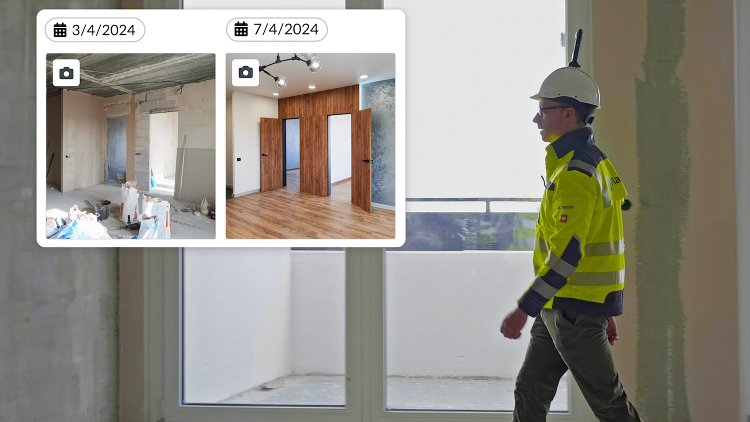
Additionally, a compare feature allows users to view images captured on two dates side-by-side during the build to see progress and spot any deflections.

SiteView uses simultaneous location and mapping technology to survey unknown environments while moving through them. It operates by estimating the path of the site walker on a digital construction plan, with algorithms constantly aligning sequential data to determine position and path. The path is then aligned to the plan, using AI-powered computer vision algorithms, which integrate depth estimation and accurate localisation.
PlanRadar group co-chief executive Ibrahim Imam said: “This reality capture feature is a gamechanger for PlanRadar users, combining the easy-to-use experience with the highest levels of accuracy, making it possible to achieve complete visual as-builts, field progress and photo documentation in place of taking thousands of photos.
“In addition, with our core documentation, communication and ticketing platform, SiteView means anyone working on a project can now easily go back and look ‘behind the wall’ to see exactly what was built or installed, often reducing rework.”
SiteView is set for updates, including BIM integration, and the ability to link to Tickets on the 360-degree images.
Don’t miss out on BIM and digital construction news: sign up to receive the BIMplus newsletter.