This is not a paywall. Registration allows us to enhance your experience across Construction Management and ensure we deliver you quality editorial content.
Registering also means you can manage your own CPDs, comments, newsletter sign-ups and privacy settings.
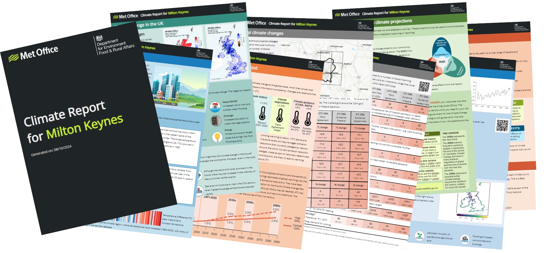
It will help local authorities understand their specific climate challenges, such as flooding and drought, and better plan to mitigate them.
Head of climate services at the Met Office, professor Jason Lowe OBE, said: “Local authorities are key in building resilience to climate change in our communities across the UK.
“It is vital that our climate projections are available in a format that makes them most accessible and useful for local authorities to apply in assessing risks and starting to plan how to best adapt to our changing climate.
Tailored climate information
“By working with Esri UK we’ve embedded our data into a range of industry-leading geospatial tools to ensure tailored climate information can be used by the people who need it, and with suitable guidance to help them apply it. We know our climate is changing so it’s important we adapt to the extremes we’re likely to see more of.”
Climate adaptation minister Emma Hardy said: “Local communities are already being impacted by more frequent and extreme weather, as well as overheating and droughts.
“These effects will vary in different parts of the country and this new service will support local authorities to more effectively plan and respond.”
Esri UK managing director Pete Wilkinson added: “Geospatial software makes this critical data easier to use, opening it up to a much broader audience, which significantly extends its value and benefits.”