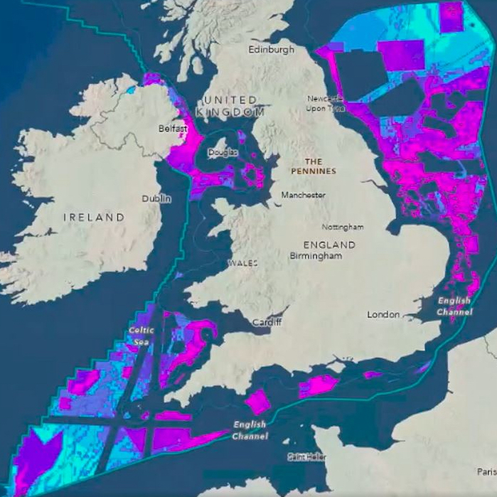











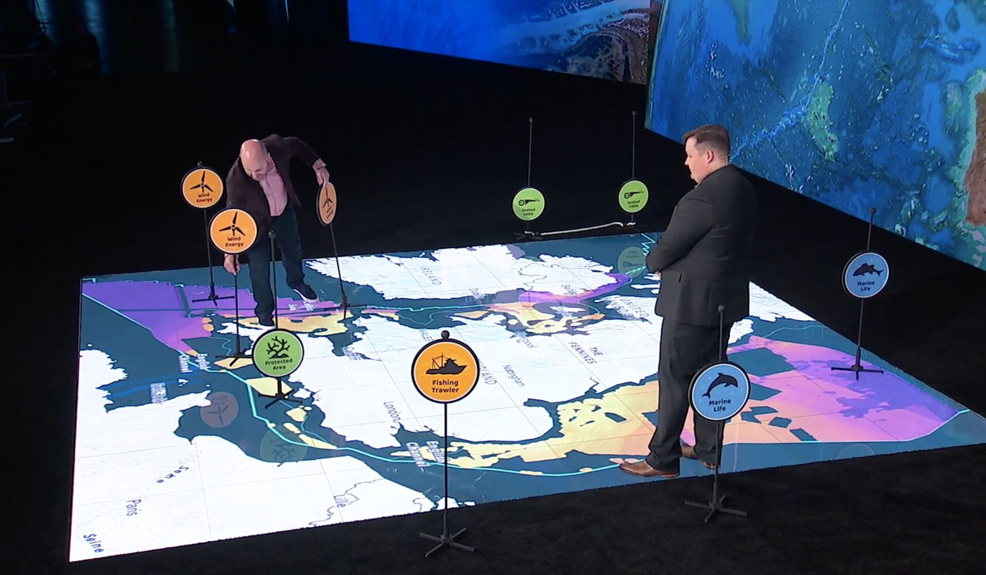
The Crown Estate has revealed details of its geospatial project mapping the UK seabed.
The Crown Estate’s marine and digital teams have developed a spatial planning system to help determine seabed use around England, Wales and Northern Ireland up to 2050.
The project is using Esri’s GIS (geographical information system) for mapping.
The planning system collects data from 250 sources across 10 sectors. It weighs demand on the seabed from sources including offshore wind, carbon capture, telecoms and minerals, against protecting nature.
Register for free or sign in to continue reading
This is not a paywall. Registration allows us to enhance your experience across Construction Management and ensure we deliver you quality editorial content.
Registering also means you can manage your own CPDs, comments, newsletter sign-ups and privacy settings.