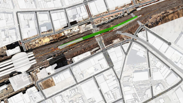
GIS and BIM software offers spatial context to AEC teams
Geographic information system (GIS) software, location intelligence and mapping firm Esri has launched a new product that links GIS with BIM systems and workflows.
This is not a first step towards a paywall. We need readers to register with us to help sustain creation of quality editorial content on Construction Management. Registering also means you can manage your own CPDs, comments, newsletter sign-ups and privacy settings. Thank you.