Digital Construction
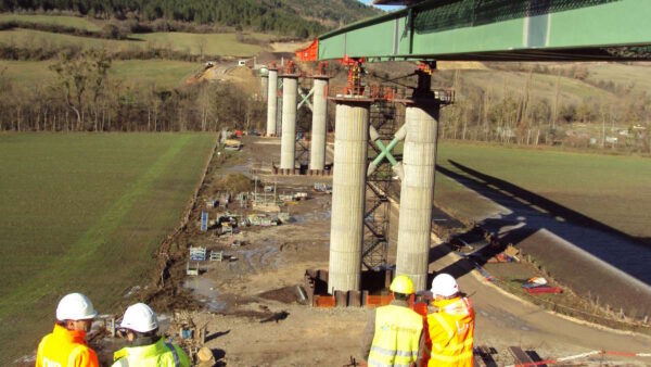
How to handle data from the survey of 45,000 bridges
The agency tasked with surveying 45,000 bridges in France in just 18 months turned to Esri’s ArcGIS platform to facilitate its work.
Sign up to the CM newsletter for free, delivered direct to your inbox.
The UK’s Most-Read Construction Magazine.
Construction Management is the highest circulation construction-based publication serving the UK built environment.

The April 2026 issue of Construction Management magazine is now available to read in digital format.

How do we address construction’s information overload? CM is running a survey to understand how companies are using their data today, and the biggest bottlenecks they face.
This is not a first step towards a paywall. We need readers to register with us to help sustain creation of quality editorial content on Construction Management. Registering also means you can manage your own CPDs, comments, newsletter sign-ups and privacy settings. Thank you.