



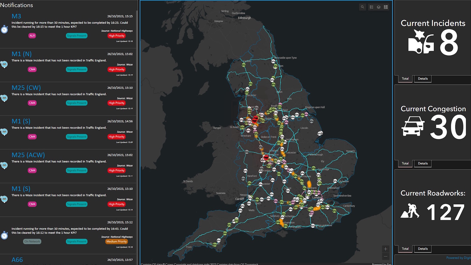
National Highways staff now have a real-time view of England’s Strategic Road Network (SRN) via a single digital model.
National Highways is using Esri UK enterprise GIS to support its Digital Roads strategy by consolidating all geospatial data and applications into one spatial portal.
Control rooms across the country are now using a ‘single view of the network’ dashboard. This has incident alerts, details of roadworks, weather updates and the location of traffic officers available on an interactive map.
Register for free or sign in to continue reading
This is not a paywall. Registration allows us to enhance your experience across Construction Management and ensure we deliver you quality editorial content.
Registering also means you can manage your own CPDs, comments, newsletter sign-ups and privacy settings.