
Maintenance specialist Mitie has introduced a new drone service for property surveying, thermal mapping and the inspection of high-rise buildings.
The drones use high-resolution cameras and are capable of reaching heights of 122m.
Mitie said the technology would mean that “previously inaccessible places are reachable from the ground and without the need for specialist equipment”.
Drone footage will be transmitted to the operative’s smartphone or tablet, and then processed in real-time by Mitie’s computer aided facilities management system.
The firm trialled the drone technology for its pest control business, inspecting roofs for gulls nests, and has now extended its use across the whole spectrum of its services, including:
- Maintenance – general building damage inspections;
- Thermal mapping – analysing “hot spots” on the building to identify potential savings via improved insulation;
- Security – remote surveillance;
- Surveillance – for cleaning at height requirements;
- Aerial mapping – for landscaping services.
Mitie director Peter Trotman said: “Drone technology is a great innovation which increases our safety when working at height and it also offers both cost and time efficiencies compared to traditional surveying methods.”



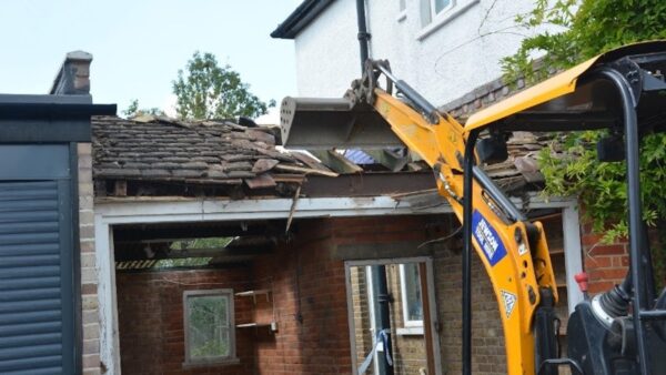

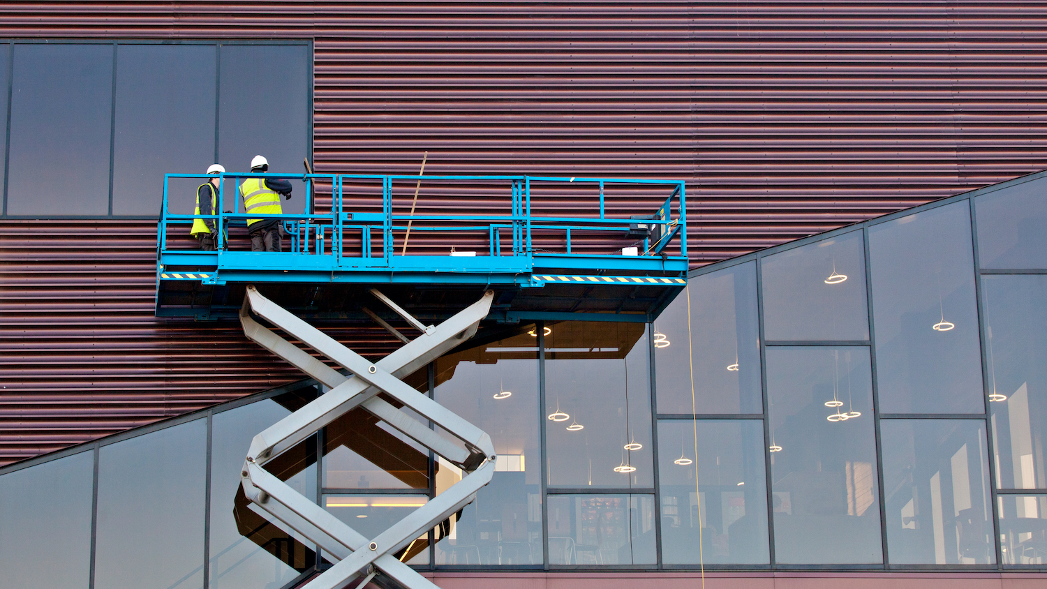

A drone has been introduced as part of our building condition surveys for 2 months now and has proved an invaluable tool. The money spent on the equipment has been covered many times when compared with the cost of scaffolding that would have been used in some instances. Only the 4 members of staff that are now qualified remote pilots are allowed to use the equipment. The drone’s use also removes any working at height issues.